Public Lands
>
National Parks
>
Smoky Mountains
>
Smoky Mountains Maps
Smoky Mountains Maps & GPS Coordinates
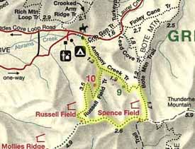
Below is a selection of Smoky Mountain National Park maps as well as some GPS coordinates. Most maps are in PDF format.
Campground Maps
Smoky Mountain Trails
Balsam Mountain
Smoky Mountains
Big Creek Campground
Cades Cove to AT Loop
Cades Cove Campground
Cosby Campground
Deep Creek Campground
Elkmont Campground
Smokemont Campground
Waypoint
Latitude
Longitude
Cades Cove Loop Start
N 35° 36.405'
W 83° 46.660'
Clingmans Dome
N 35° 33.776'
W 83° 29.923'
Laurel Falls Trailhead
N 35° 40.315'
W 83° 34.855'
John Oliver Cabin
N 35° 36.595'
W 83° 47.715'
Smoky Mountains
Smoky Mountains
National Parks
Hiking forums
Cades Cove
Leatherwood Ford
Clingman's Dome
Current Weather
Tenn Waterfalls
Sponsor Links
Dale Hollow Marina
Outdoors-411
What's This?
Related Links
National Parks
Tennessee Cabins
Campgrounds
Great Smoky Mountain Books
Copyright © 1999 - 2010
Southeastern Outdoors
a Division of
Southeastern Computer Services
.


